
Services

From field data to the finished project

Eight areas working together: we measure, design, analyze and build the tools that speed up every step.
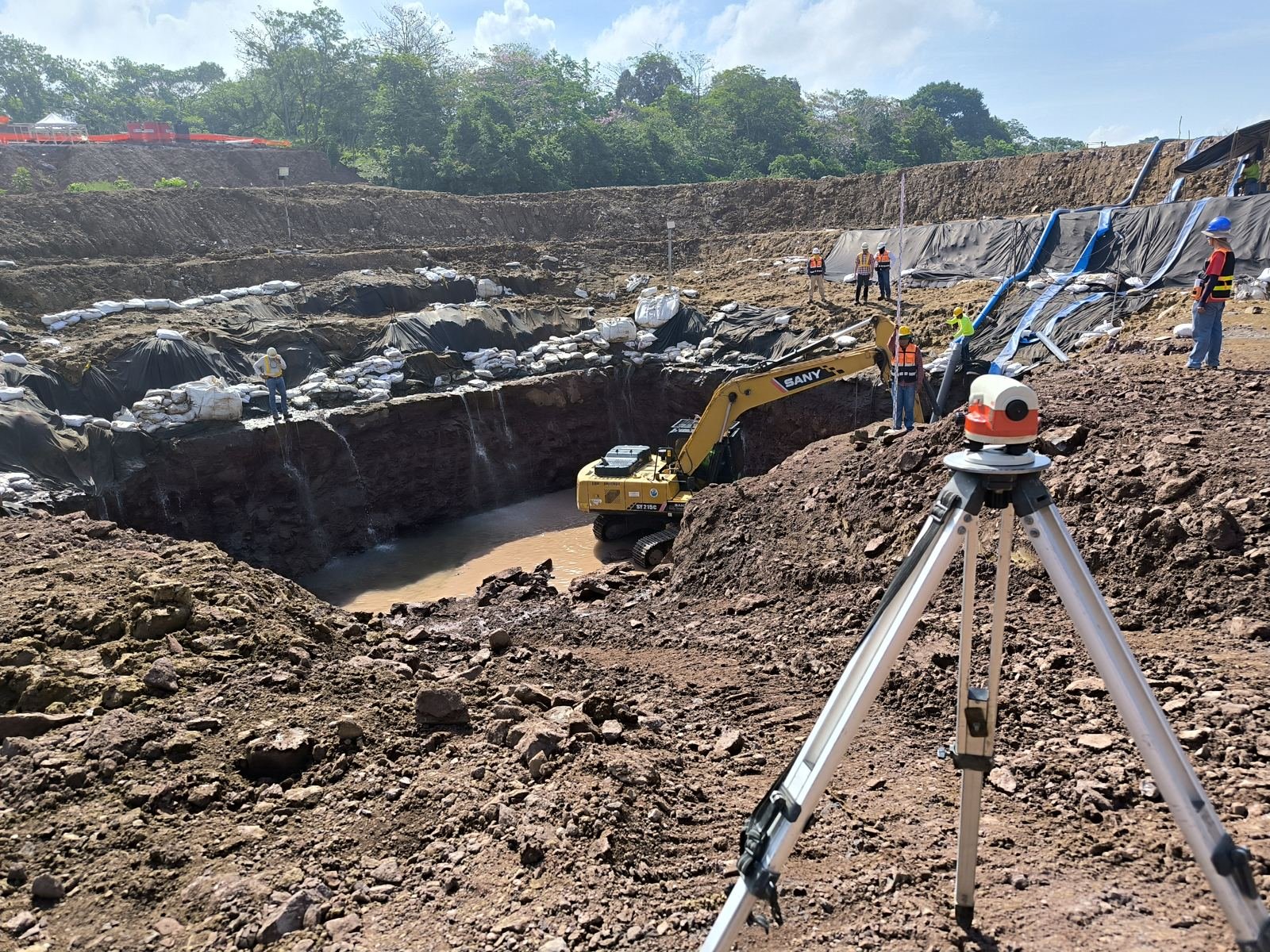
Geodetic control and geodesy
Geodesy and control

Geodetic control and geodesy

We give every project a reliable coordinate foundation: tied-in, verified control points, so everything measured or designed afterwards fits together.

What we deliver

  • Geodetic control networks with monumentation and point monographs
  • Static, RTK and PPK GNSS observation, with network adjustment
  • Coordinate transformation between systems and projections (geographic, UTM and local plane)
  • Audit and verification of traverses and existing surveys
  • Monitoring of displacement and deformation in bridges, slopes and other structures

How we do it

Multi-frequency GNSSNetwork adjustmentIn-house processingAutomatic reports
Precision surveying
Surveying

Precision surveying

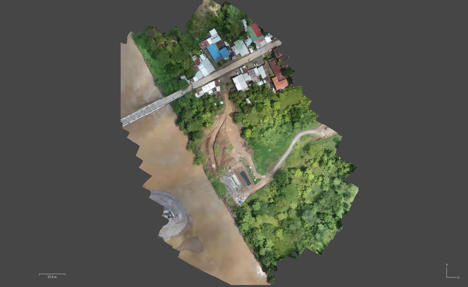
Surveys and staking done with modern equipment and in-house tools that calculate and report on site, without waiting for the office.
What we deliver

  • Planimetric and altimetric surveys, with contours and terrain model
  • Profiles and cross-sections
  • Staking of alignments, structures and levels
  • As-built surveys and elevation checks against the design
  • Cut and fill volume calculation
  • Reports and drawings ready to deliver

How we do it

Total stationGNSS RTKIn-house staking and leveling appsDXF and KMZ export
Geometric road design
Road design

Geometric road design

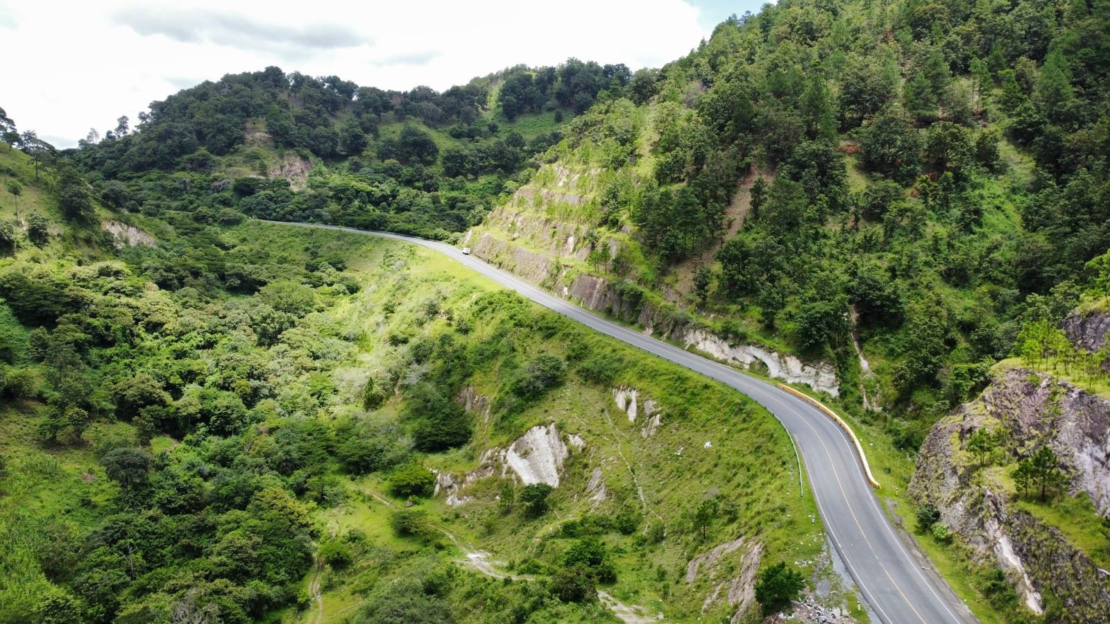
Alignments that respect the terrain and can actually be built: from the plan centerline to the 3D road model, with staking lists to take it to the field.
What we deliver

  • Horizontal and vertical alignment
  • Typical sections and cross-sections
  • Earthworks and quantity takeoff
  • Construction drawings and staking lists
  • 3D road model (BIM)

How we do it

Proprietary alignment softwareTerrain from survey or droneBIM modelingStaking with ITD apps
Hydrotechnics and hydraulics
Hydrotechnics

Hydrotechnics and hydraulics

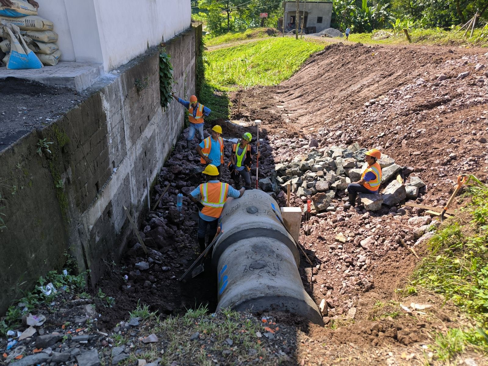
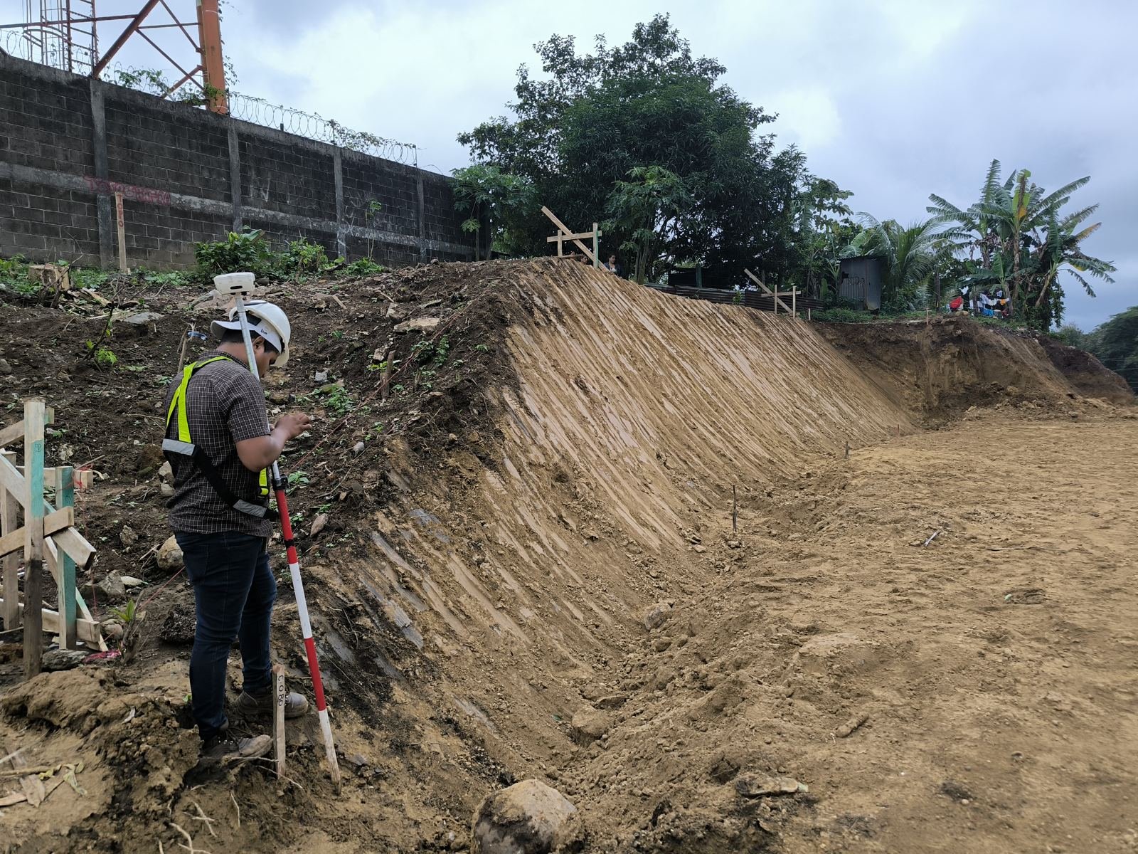
We understand how water behaves on site before the rain arrives: flows, channels and drainage sized with simulation.
What we deliver

  • Hydrological studies: watersheds and design flows
  • Channel hydraulics and hydrodynamic simulation
  • Design and verification of minor and major drainage: ditches, culverts and bridges
  • Inventory and assessment of existing road drainage
  • Water control and channeling for infrastructure

How we do it

Hydrodynamic modelsHigh-resolution terrainDrainage inventory appTechnical reports
Geotechnics and soil mechanics
Geotechnics

Geotechnics and soil mechanics

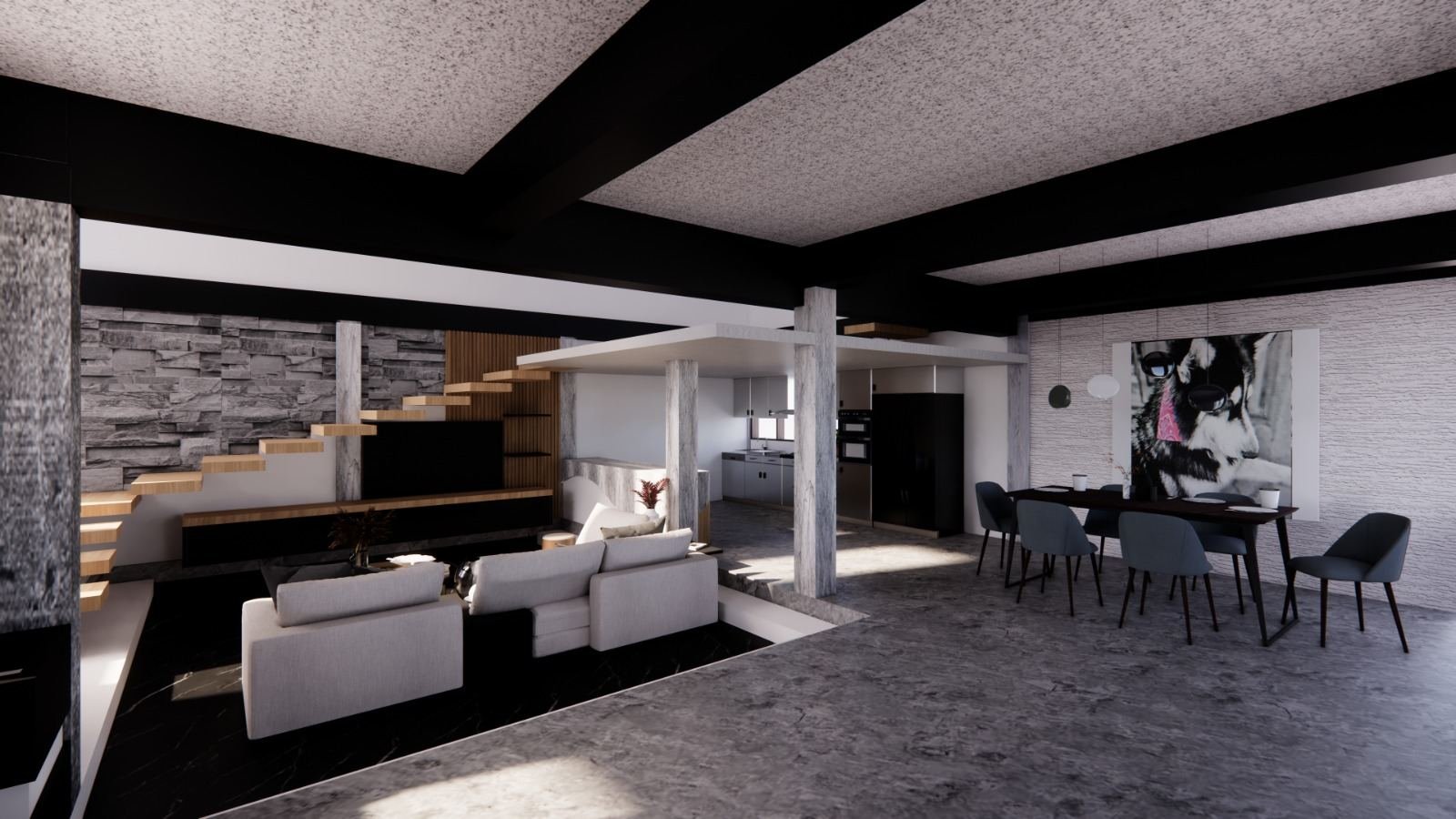
Knowing the soil is the basis of a safe foundation. We combine testing with computational analysis for clear recommendations.
What we deliver

  • Soil mechanics studies
  • Field and laboratory testing
  • Bearing capacity and settlement
  • Slope stability
  • Foundation recommendations

How we do it

Automated testingComputational analysisStandardized reports
Architecture and renderings
Architecture

Architecture and renderings

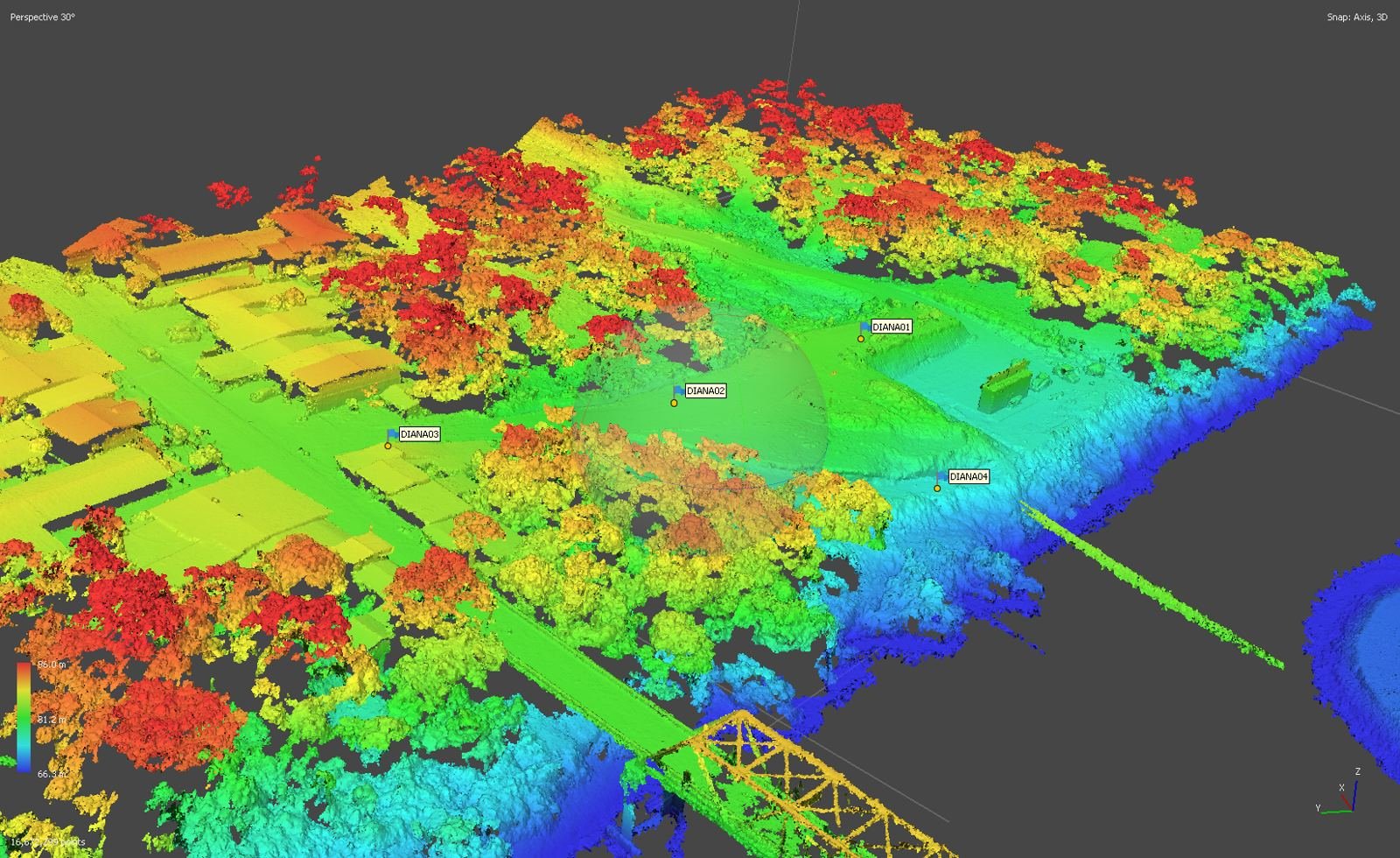
Functional designs you can walk through before they are built: clients see the result and decide with confidence.
What we deliver

  • Functional architectural design
  • BIM modeling of the project
  • Photorealistic renders
  • Virtual walkthroughs
  • Construction documentation

How we do it

BIMPhotorealistic renderingVirtual walkthrough
Drone mapping
Drone mapping

Drone mapping

Large areas covered in hours, with georeferenced data used directly in design, quantity takeoff and construction monitoring.

What we deliver

  • Georeferenced orthophotos
  • 3D models and point clouds
  • Elevation and terrain models (DEM and DTM) with contours
  • Volumes and construction progress tracking
  • Visual inspection of structures and slopes

How we do it

RTK dronesGround control pointsPhotogrammetryIn-house processing

Already in use

  • ITD FieldInspect
    Stamped photos and office reports
  • 2D road design and staking
    Cross-sections and elevation control
  • RTK elevation control
    As-built and cut/fill
  • Leveling and staking
    Height differences and elevation control
Custom software

Software and digital tools

We build the tools we use on our own projects, and for yours too: field capture, calculation and reports that used to be manual.

What we deliver

  • Mobile and web apps for field data capture
  • PDF and Word reports generated automatically
  • Automation of calculations, sections and drawings
  • Exchange with your files: DXF, KMZ and Excel
  • FieldInspect, road staking, RTK control and leveling already available

How we do it

AndroidInstallable web appsOffline workIntegration with your workflows

Does your project need more than one area?

That's normal: surveying feeds design, design feeds drainage. Tell us what you need and we'll define the scope.