
Integrated engineering solutions: geodesy and surveying, road and hydraulic design, geotechnics, architecture and drone mapping, with in-house digital tools to streamline every project.
We combine field rigor with advanced computational analysis to bring stability and precision to every stage of the work.
High-precision GNSS control networks, surveys and automated field reports.
Road planning and alignments fitted to the terrain, with 3D modeling of the road.
Water behavior simulation for the control, channeling and drainage of infrastructure.
Soil mechanics studies with computational analysis for safe foundations.
Functional designs and photorealistic virtual walkthroughs before building.
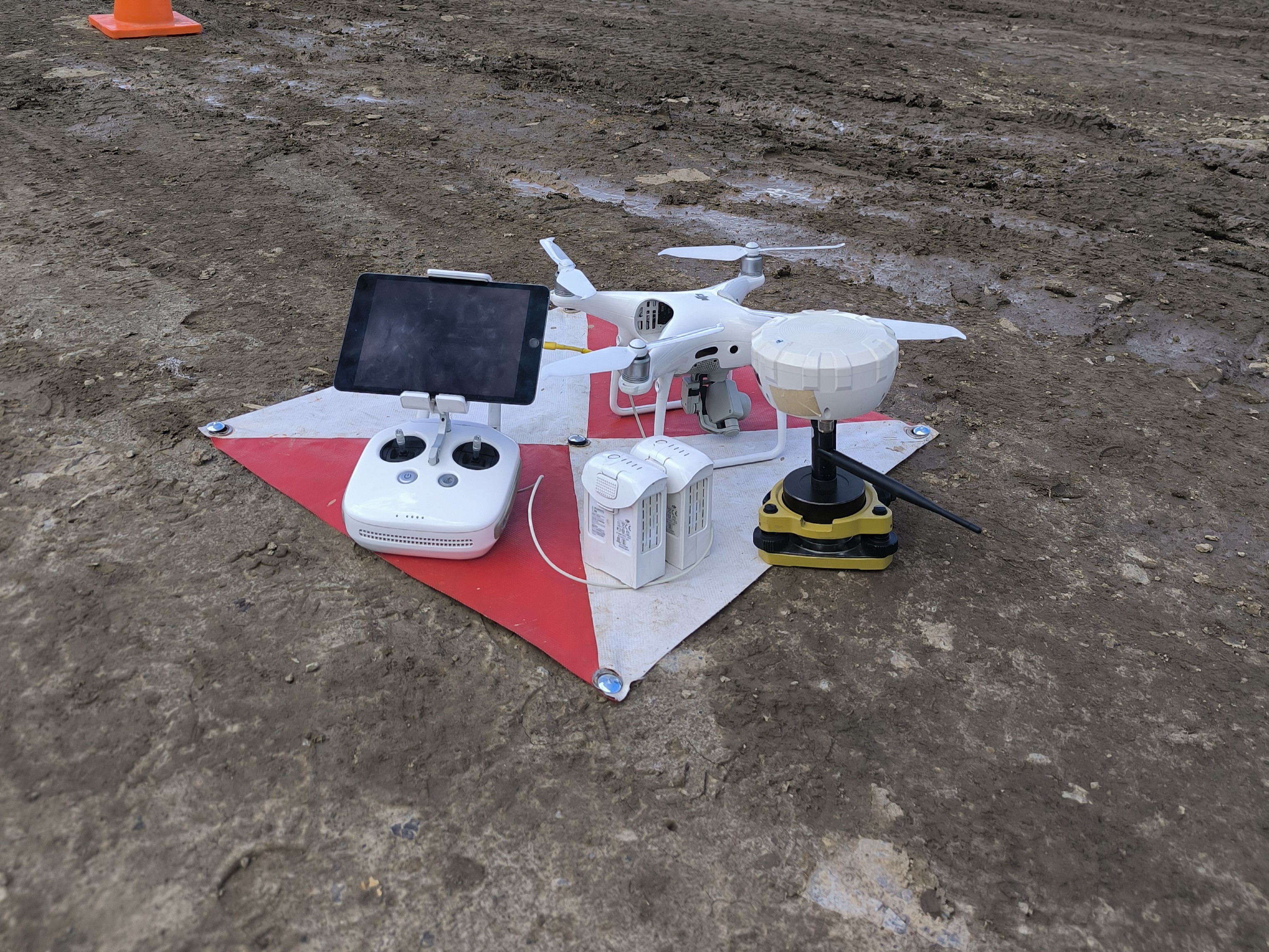
Orthophotos, 3D models and terrain models with RTK drones and in-house processing.
Exclusive applications to automate processes and reports in the field and in the office.

Photos with stamp, coordinates and voice notes on the phone; review and PDF and Word reports on the computer.
Automatic cross-section calculation and elevation control.
Launch appAs-built review and instant cut/fill reports.
Launch appElevation control and height-difference calculation for engineering projects.
Launch app